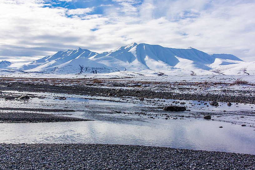
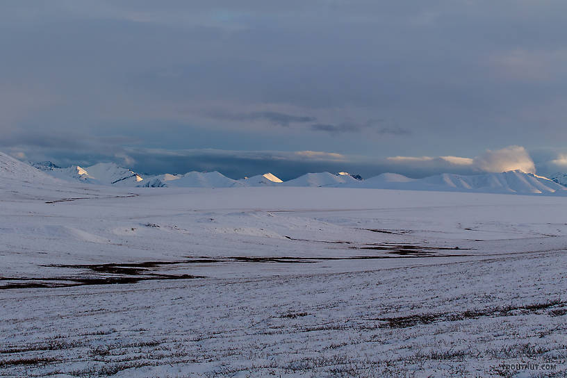
Sunrise over the mountains of the upper Ribdon River in the Arctic National Wildlife Refuge.
I broke camp slowly in the morning snow and cold, and was ready to start floating back to the road around noon. After flipping last year, I left nothing to chance: all gear and meat was tied to the raft multiple ways, and I was wearing a helmet and a proper (not inflatable) PFD. Full dry clothing was safe in roll-top drybags. Everything was packed with thoughts on lowering the center of gravity of the raft. And I had a sturdy climber's rope secured to the stern with which I would line the raft past anything that even remotely seemed to require all these other precautions.

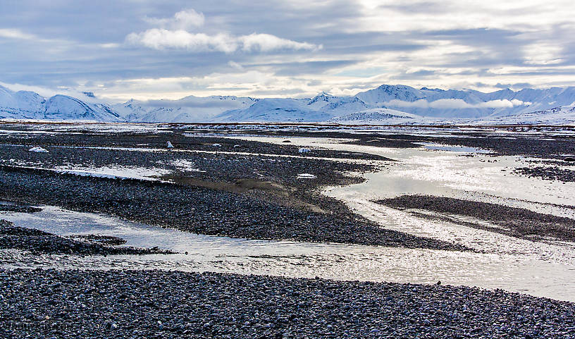
The weather was clearing up and the winter landscape here on the edge of the Brooks Range, just a couple miles outside the Arctic National Wildlife Refuge, was fantastic.


View Full SizeView Full Size (4.4X larger)

View Full SizeView Full Size (5.5X larger)

View Full SizeView Full Size (5.6X larger)

View Full SizeView Full Size (5.3X larger)

View Full SizeView Full Size (5.6X larger)


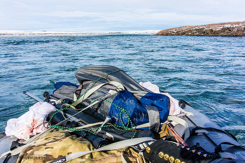
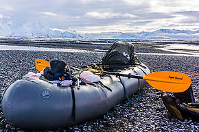
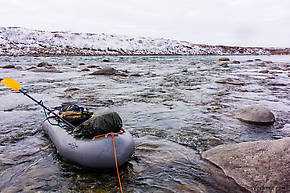
The float was slow and uneventful because I was so careful about walking around all the would-be "fun" parts. There were a few serious boat-eaters, too, like this one.

View Full SizeView Full Size (4.4X larger)
It's hard to tell with nothing for scale and the water not moving in a still picture, but this boulder has probably eaten some boats in its day. The main current funnels anything coming from above down a fast, narrow chute right smack into this thing.


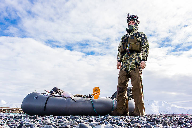
Lining past the rapids worked very well, except right toward the end when there were some boulder gardens extending so far out from the inside bends that I couldn't just put the raft out around them from shore -- I had to walk it through the boulders. That pretty well soaked my boots and legs, but it was fine since I was near the car. I was able to get back in the raft once I reached the Sag and float a mile down to a bend near the road on gentle water.

I hitched a two-minute ride to my car with some bowhunters from Idaho, then drove to the landing to grab my gear and realized I had a flat tire. I changed it, perhaps more hastily than I should have due to the wet legs, and drove south. I made it through Atigun Pass, which was already very icy coming down the south side, and car camped along the Dietrich River.

View Full SizeView Full Size (6.7X larger)

View Full SizeView Full Size (6.7X larger)
Sunset over the Alaska Pipeline.

View Full SizeView Full Size (6.5X larger)
Road and pipeline descending south toward Galbraith Lake.

View Full SizeView Full Size (6.7X larger)
Light fog and mud ruled the climb up Atigun Pass from the north, followed by heavy fog and ice descending the south side. Par for the course.

View Full SizeView Full Size (6.7X larger)
Light trails from a passing truck seen from my evening car camp along the Dietrich.